
BOUNDARIES
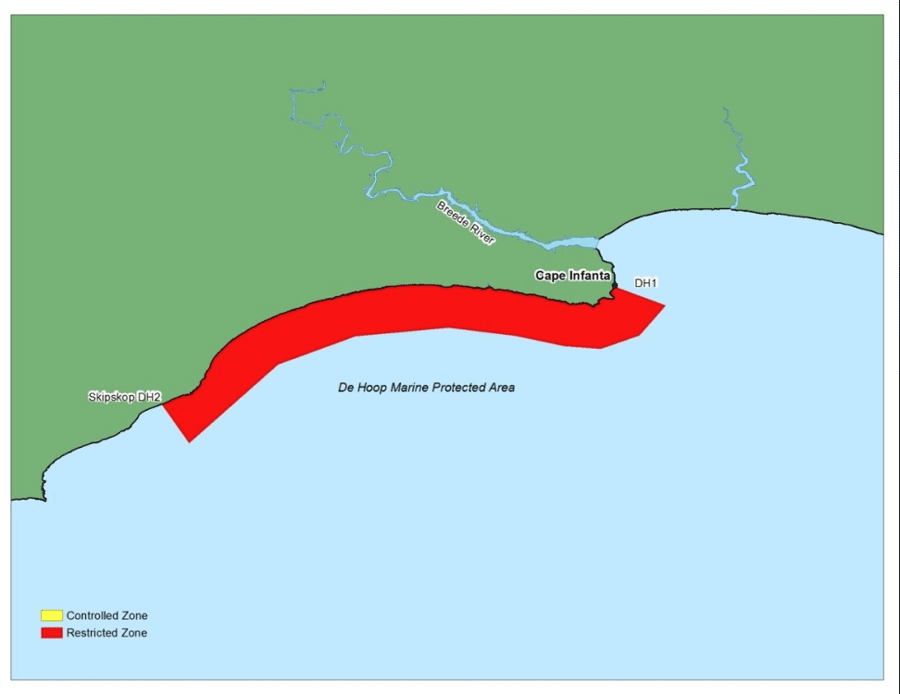
The boundary of De Hoop MPA is gazetted under Section 3 of Government Notice 1429 (20 December 2000) as follows:
The De Hoop Marine Protected Area in the Western Cape Province is bounded by the high water mark, a line (1 14o) true bearing) drawn from the beacon marked D1-fl, situated near Stilbaai Point (34o27’.13S; 020o52’.25E), another line (150’ true bearing) drawn from the beacon marked DH2, situated between Rys Point and Skipskop (34o34’.94S; 020o21’89E), and a seaward boundary, which is a series of straight lines joining the following positions, each three nautical miles from shore:
34o28’.378S; 20o55’.653E,
34o28’.385S; 20o55’.397E – (Cape Nature to verify this point)
34o30’.378S; 20o53’.904E
34o31’.295S; 20o51’.277E
34o31’.088S; 20o48’.865E
34o30’.416S; 20o45’.593E
34o29’.850S; 20o41’.128E
34o30’.438S; 20o34’.900E
34o32’.329S; 20o29’.699E
34o37’.600S; 20o23’.757E